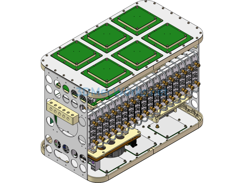
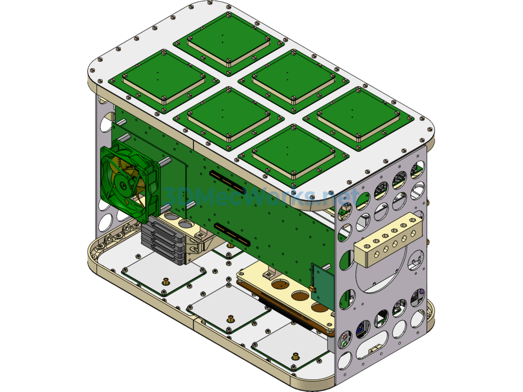
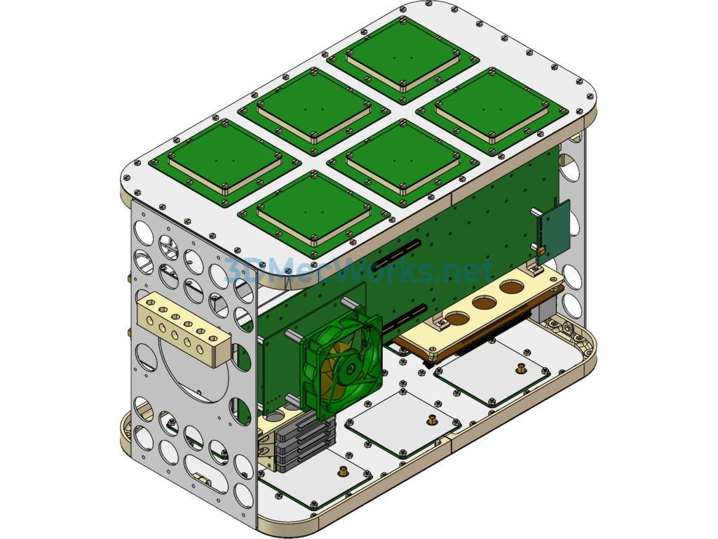
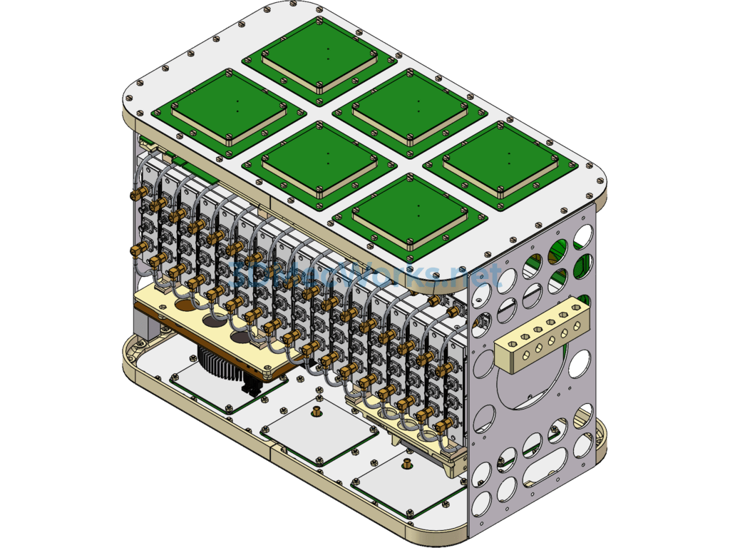
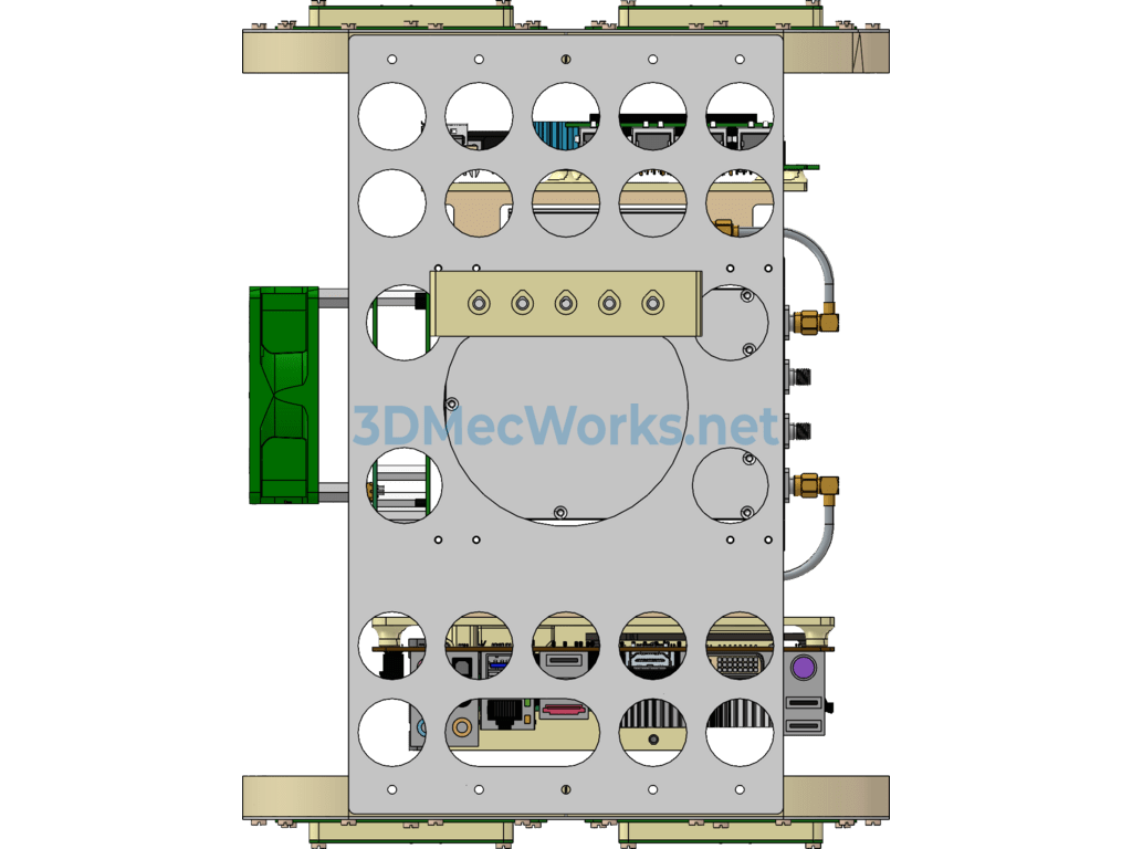
SPIR UAV GNSS-R Instrument (Satellite Remote Sensing Transceiver Instrument for Drones) 3D model share, this model is a SW design source file sharing, welcome to download!
GNSS-R is a new remote sensing method that uses the reflected signals from navigation satellites to perform remote sensing of sea or land surfaces. It is a low-cost, low-power consumption, and relatively high spatiotemporal resolution technique. From a theoretical perspective, GNSS-R functions as a bistatic radar, based on the microwave electromagnetic scattering model. For right-hand circular polarization transmission, theoretical simulations of scattering characteristics were conducted for right-hand circular polarization (RHCP), left-hand circular polarization (LHCP), H polarization, and V polarization reception, focusing on bare soil and vegetation.
Specification: Drone Gnss-R Instrument (satellite Remote Sensing Transceiver for Drones)
|
User Reviews
Be the first to review “Drone Gnss-R Instrument (satellite Remote Sensing Transceiver for Drones)”
You must be logged in to post a review.






There are no reviews yet.